Licensed in Minnesota & Wisconsin

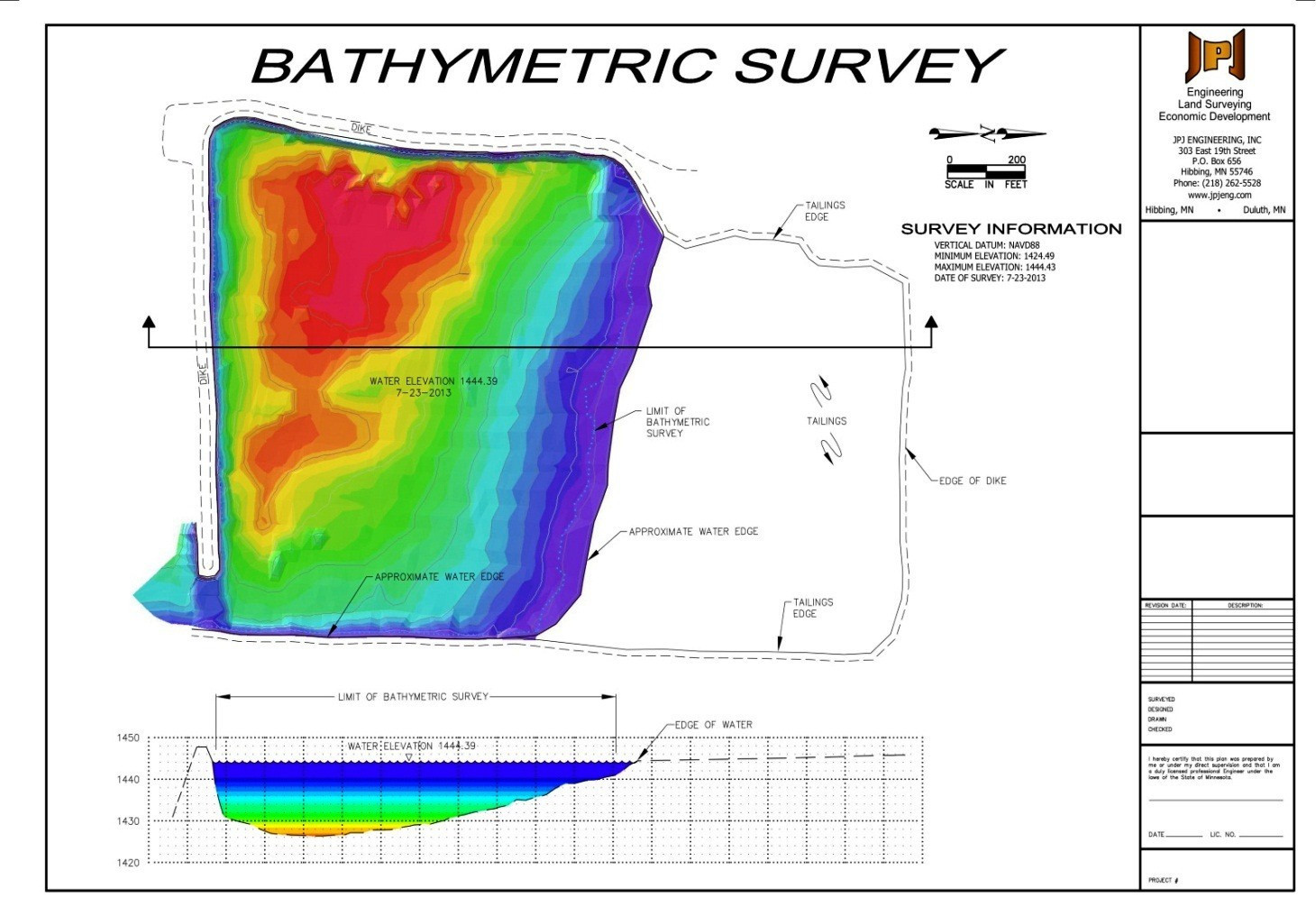
JPJ Engineering has the ability to provide Bathymetric Surveys; which measure the terrain and contours of land underwater and provides information regarding the shape and specific features of the submerged terrain.
JPJ Engineering used a Seafloor HydroLite TM Echosounder together with R8 GNSS model GPS and TSC3 data collector to provide information that is compatible to any local or state horizontal and vertical coordinate system.