JPJ Engineering provides land surveying services to residential property owners, developers, and other public and private entities. We believe working with an accurate and informative land survey is fundamental to any improvement project, property purchase, or ownership interest (easement).
Whether you need a lot survey or a boundary survey to put up a fence or build a garage or an elevation certificate, topographic map, or ALTA/ASCM land title survey, JPJ Engineering has distinguished itself as a premier land surveyor among clients, peers, and industry experts.
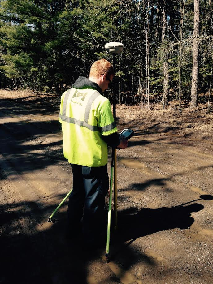
JPJ Engineering uses state-of-the-art survey instruments that include highly efficient, fully robotic total stations, 3D laser scanning, electronic data collectors, GNSS satellite receivers, electronic levels, and the most recent mapping, and CAD software.
Our land surveyors utilize various types of survey equipment including:
GPS units for lot, boundary, and legal surveys, linear topographic surveys, and other site surveys.
Total stations that are utilized for precise data collection in constrained areas such as heavily wooded lots. Total stations and are also employed in construction staking to create the site layout, marking the locations of buildings, roads, and sidewalks.
A long-range scanner is used to create topographic surveys, mining excavation volumes, stockpile quantities, and other larger area surveys which can be completed by a one-person survey crew utilizing our FX scanner.
A short-range scanner collects data at a rate of 200,000 points per second to produce point clouds and a high-definition mesh of site areas, building components, pipes and pumps, and other objects. We can then prepare 3D models from point clouds and create precise digital replications of an object. Compatible with multiple CAD applications, these 3D models make reverse engineering possible.